|
|
| |
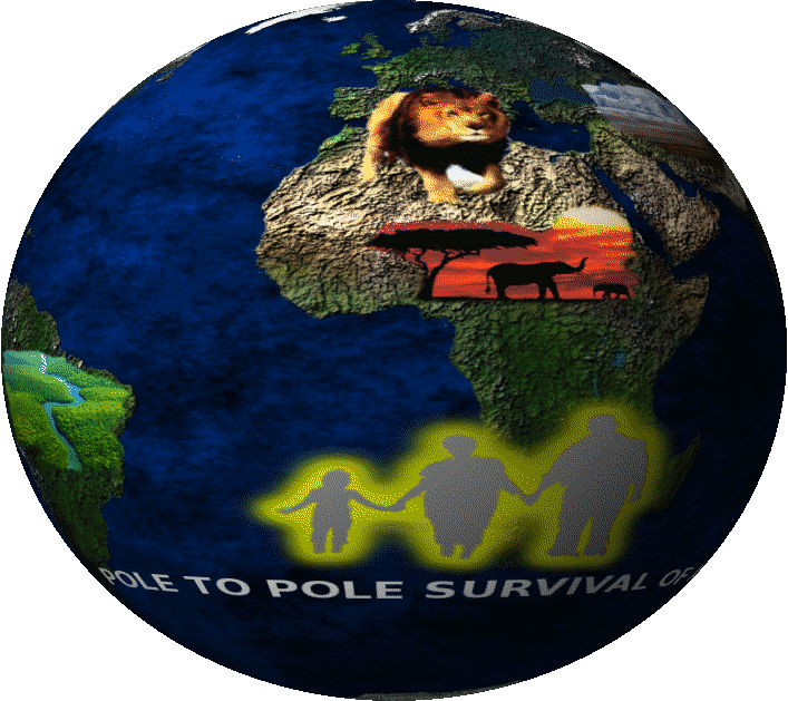
CLIMATE CHANGE IMPACTS ALL LIFE
|
|
|
| |
| Welcome to Earth Mapping International |
Earth Mapping International (EMI) is a multi-disciplinary research and consulting firm. We perform research and provide services in the following disciplines: (a) Climate Change, (b) Geodesy & Geophysics; (c) Geomatics; (d) Water Resources Forecasting & Conservation;
(e) Security & Emergency Information Management Systems; and (f) Utility Systems Database Design & Maintenance.
In recent years, EMI has specialized in climate change studies, optimization of natural resources, Land Use Land Cover Change Analysis (LULCCA), Monitoring, Reporting, and Verification (MRV) of Reducing Emissions from Deforestation and Forest Degradation (REDD) programs, geodesy and high accuracy GPS surveys, gravity surveys, hydrological modeling, digital photogrammetry, LiDAR surveys, orthophoto production, satellite remote sensing, hyperspectral imaging, photo control surveys, engineering mapping, parcel data conversion, development of Comprehensive Geographic Information Systems (C-GIS), and creation of geodatabase portals.
To provide services and perform research in the above listed disciplines worldwide, Earth Mapping International (EMI) has created a consortium in concert with various USA universities, non-governmental organizations, corporations, and national universities around the world.
|
|
|

|

|

|

|
| Photogrammetry |
GPS |
GIS |
Remote Sensing |
|
|
| |
|